Home | Gallery | AboutUs | Software | Rates
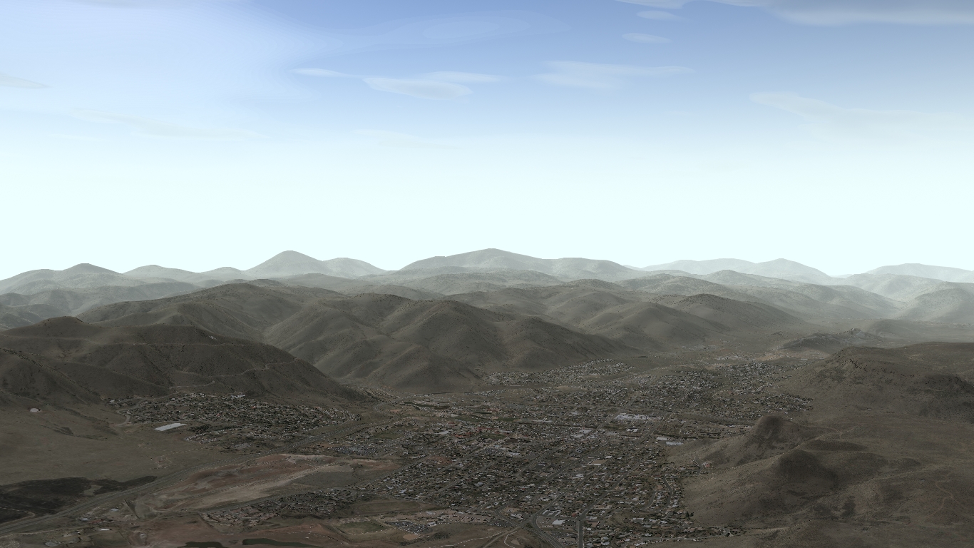
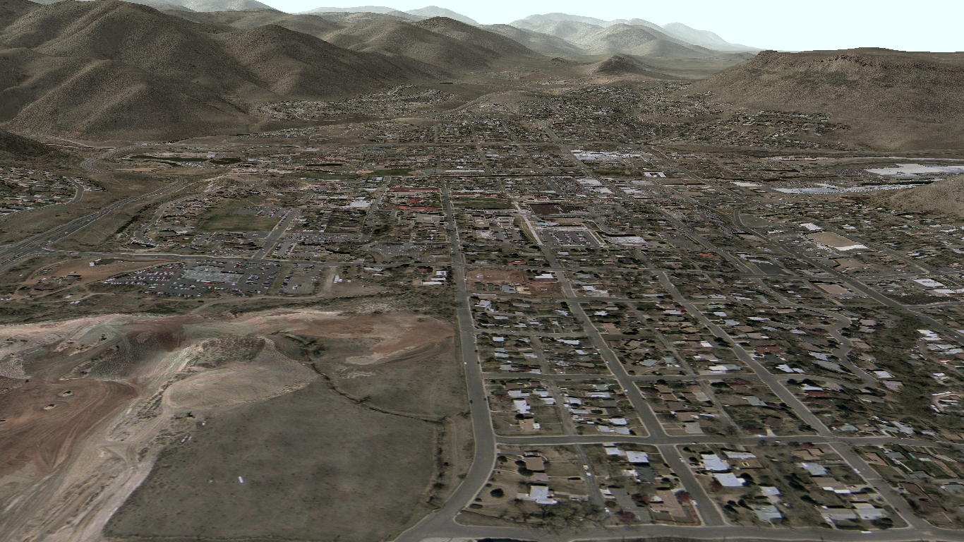
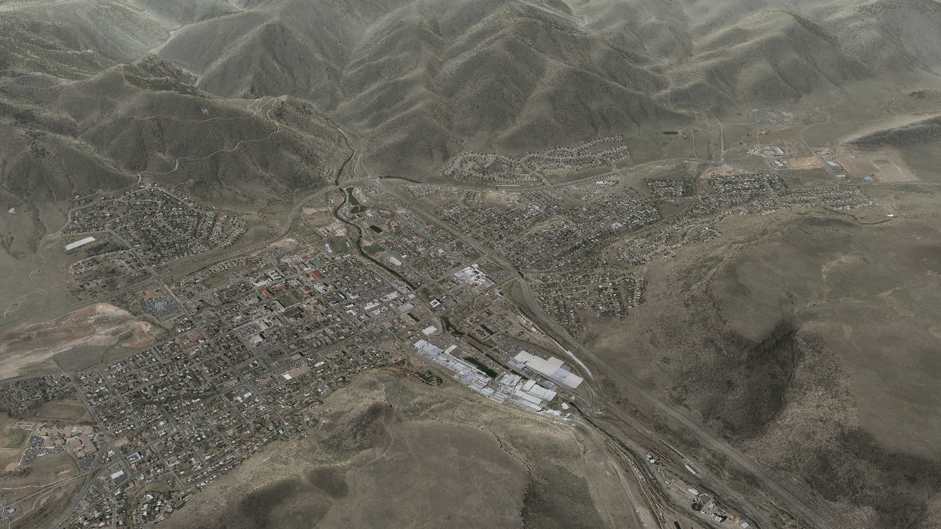
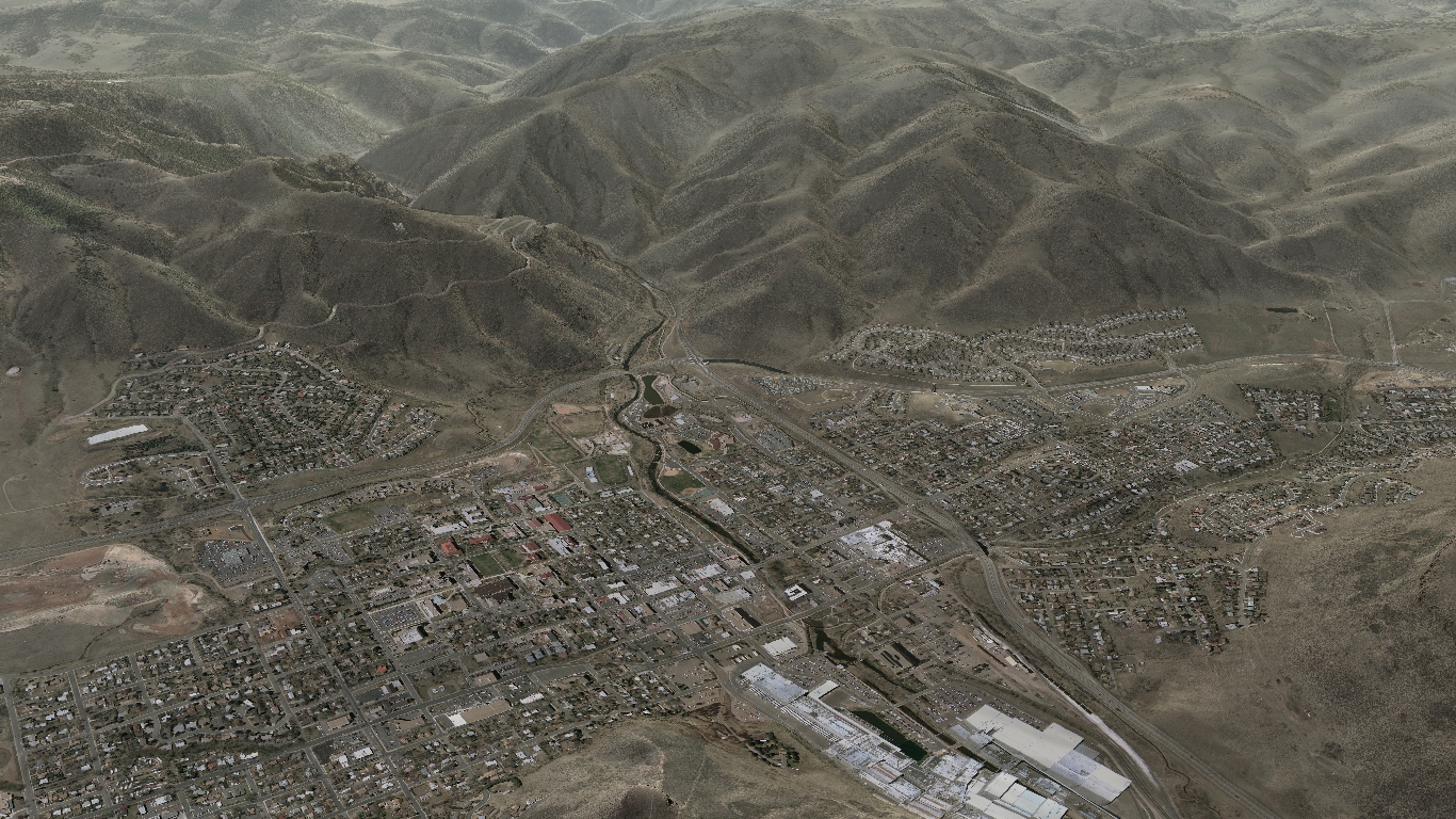
The graphics on this page depict the terrain near Golden, Colorado. The most notable features are North Table Mountain and South Table Mountain and the prominent "M" emblem atop Mount Zion. The "M" was put there by the Colorado School of Mines.
Below is an Adobe Flash interface terrain visualization sample. Patience is necessary, this file is 9 Megabytes in size and at present will not notify you of the loading status. When completed you will be able to overlay USGS Tree Canopy Height, USGS Impervious Surface, NLCD Landcover, USGS DRG Topographic maps, calculated slope, contoured elevation lines and the USGS Urban satellite imagery. Of interest is an area of terrain around Golden, Colorado. A top view, two oblique views and one rotating 3D animated view will be available.
Below are some still images of Golden, Colorado. Each image is rendered completely using computer software and source data such as USGS high res urban imagery, digital raster graphics and digital elevation models. You may want to scroll your web browser to view the image. Feel free to drag the images to your desktop for a better viewing experience.
Copyright 2010 Exosphere3D.com